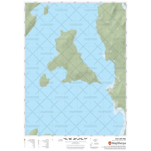
Cree Lake Map
Cree Lake map uses relief shading to highlight traditional topographic features like elevation contours, landforms, lakes, and rivers along with roads, rails, trails, and park boundaries. The base map shows key points of interest such as campsites, trailheads, and landmarks. You can buy this map in high-quality print in your choice of orientation, size, and finishing material. The map can also be customized around your central location.
If you have any questions, reach out to us over the phone (866) 525-2298 or write to us.
Details
Cree Lake Map
The map of Cree Lake Saskatchewan uses relief shading to highlight traditional topographic features like elevation contours, landforms, lakes, and rivers along with roads, rails, trails, and park boundaries. It exhibits beautiful cartography and covers nearby cottages, resorts and other points of interest.
You can buy this high-quality Cree Lake map in your choice of size, orientation, and finishing materials. We also have the option to customize the map around your desired central location. Click on 'Close Preview' to edit the print area.
About Cree Lake
Cree Lake in Saskatchewan is the fourth largest lake in the province and is located west of Reindeer Lake and south of Lake Athabasca.Facts and Figures about Cree Lake:
| Lake type | Glacial Lake |
| Primary outflows | Cree River |
| Catchment area | 4,468 km2 (1,725 sq mi) |
| Basin countries | Canada |
| Surface area | 1,152 km2 (445 sq mi) |
| Average depth | 14.9 m (49 ft) |
| Max. depth | 60 m (200 ft) |
| Water volume | 17.6 km3 (4.2 cu mi) |
| Shore length | 786 km (488 mi) |
| Surface elevation | 487 m (1,598 ft) |
You can explore many other intriguing lakes in our collection of Canada Lakes Maps. You can also view the Great Lakes maps like Lake Michigan map, Lake Superior map, Lake Erie Map, and Lake Ontario Map.
More Information
| SKU | 9ec2ccde4ea71cd83900cdedf628db72-Cree-L-SK |
|---|---|
| Map Specification | Max Print Scale - 1:15,000 Min Print Scale - 1:2,000,000 Optimal Print Scale - All |
| Publisher Name | MapSherpa |
Reviews
{{title}}
{{detail}}