Lake Simcoe Map
Details
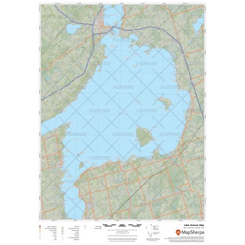
Lake Simcoe map
The map of Lake Simcoe highlights traditional topographic features like elevation contours, landforms, lakes, and rivers using relief shading. It covers nearby cottages, resorts and other points of interest. The map is overlaid on a base map that shows key points such as campsites, trailheads, and landmarks. It is a perfect tool for exploring the lake and its nearby places. Major settlements shown on the map include Orillia and Barrie.
You can buy the map in high-quality print with your choice of title, orientation, size, and finishing material. The map is also available for customizations according to your requirements.
About Lake Simcoe
Lake Simcoe is located in Southern Ontario and is the fourth-largest lake wholly in the province. The lake is about 30 kilometers (19 mi) long, 25 kilometers (16 mi) wide and 722 square kilometers (279 sq mi) in area. Its watershed contains a population of roughly half a million people, including the northern portion of the Greater Toronto Area (GTA).
History of Lake Simcoe
This lake is remain of a much bigger, prehistoric lake known as Lake Algonquin. The water level of the lake as reduced greatly due to the melting of an ice dam at the close of the last ice age, leaving the lakes of today. It was earlier known as Ouentironk by Wyandot people during the first European contact in the 17th century. Later it came to be known as Lake Taronto until it was renamed by John Graves Simcoe, the first Lieutenant-Governor of Upper Canada.
Explore many other intriguing lakes in our collection of Canada Lakes Maps. You can also view the Great Lakes maps like Lake Michigan map, Lake Superior map, and Lake Ontario.
More Information
| SKU | 9ec2ccde4ea71cd83900cdedf628db72-Simcoe-L-ON |
|---|---|
| Map Specification | Max Print Scale - 1:15,000 Min Print Scale - 1:2,000,000 Optimal Print Scale - All |
| Publisher Name | MapSherpa |
Reviews
{{title}}
{{detail}}