Mystery Lake Map
Details
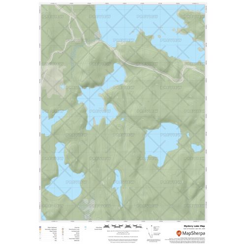
Mystery Lake Map
The map of Mystery Lake exhibits beautiful cartography and covers nearby cottages, resorts and other points of interest. It highlights traditional topographic features like elevation contours, landforms, lakes, and rivers using relief shading. The map is overlaid on a base map that shows key points such as campsites, trailheads, and other major landmarks. It is a perfect tool for exploring the lake and its nearby places.
The map is available in high-quality print with your choice of title, orientation, size, and finishing material. You can also customize the map according to your requirements.
You can also view the Great Lakes maps like Lake Michigan map, Lake Superior map, and Lake Ontario.
More Information
| SKU | 9ec2ccde4ea71cd83900cdedf628db72-Mystery-L-MB |
|---|---|
| Map Specification | Max Print Scale - 1:15,000 Min Print Scale - 1:2,000,000 Optimal Print Scale - All |
| Publisher Name | MapSherpa |
Reviews
{{title}}
{{detail}}